

1 / 2
Antique Map New South Wales 1890’s
- 6 hours
- Waterford City, Co. Waterford
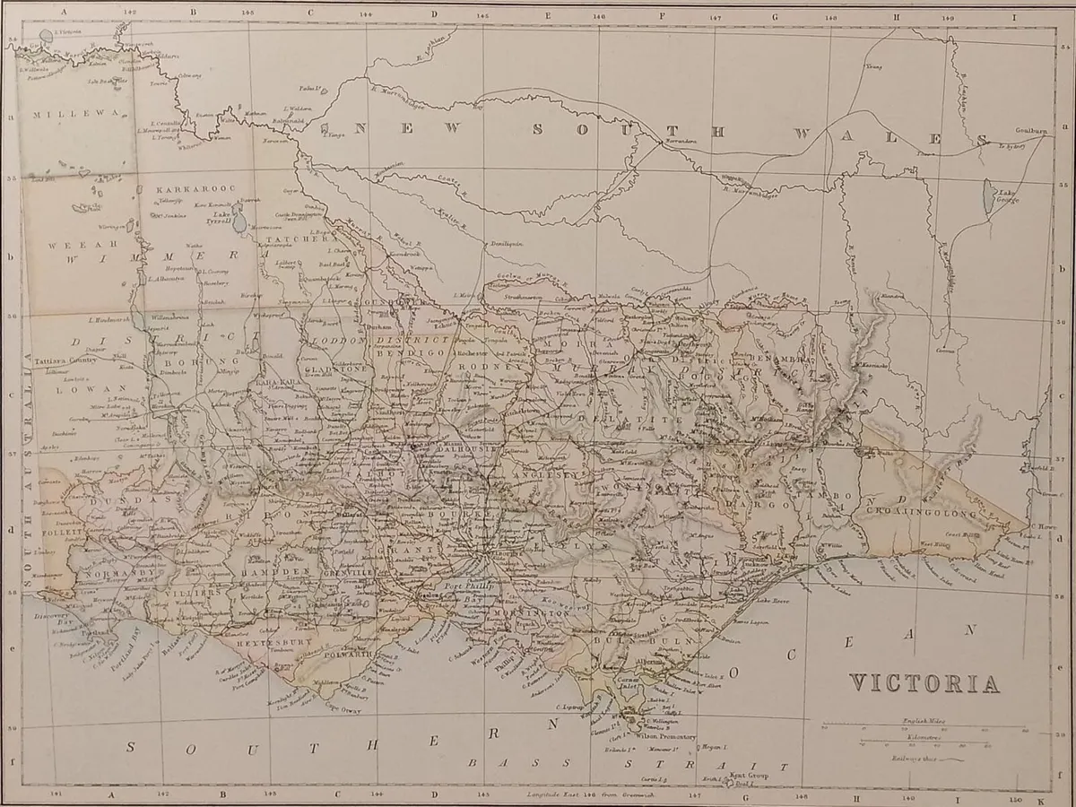
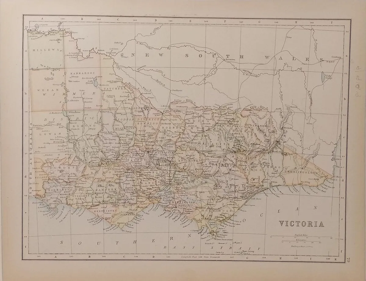

Antique colour map of Victoria. Map shows the counties within Victoria with railway lines. The map is in very good condition for age, very clear and vibrant with good margins for framing, paper will show light ageing. Map of Tasmania and Western Australia on the reverse. Pencil marks from previous owner on right border. The map was originally published as part of Collins Complete Atlas and Gazetteer of the World published in the late 1890’s. Population data from the gazetteer would date the maps circa 1895 to 1897 period. The map measures 23 by 30 cm’s with the overall paper size of 27 by 34 cm’s. Postage €7, free postage orders over €75, view more maps at anticogallery.com
Some information displayed may be provided by third parties or identified using AI, and may not be fully accurate, complete, or up to date.

Email, Phone, Payment card
Excellent
Reviews
8 years
on DoneDeal
4.9/5
14 ReviewsFind out how we are keeping you safe.
Learn moreYou may also like
Antique Map New South Wales 1890’s


Cavan Westmeath Meath Antique Colour Map 1850

Pair Antique Maps Ireland 1905 Framed

Galway 1837 Antique Map Including Baronies
Legal
DoneDeal.ie is not responsible for the advertised goods. It is illegal to use the contact information for commercial purposes.
Email, Phone, Payment card
Excellent
Reviews
8 years
on DoneDeal
Tips and guides